Development Ground Surface Inspection System
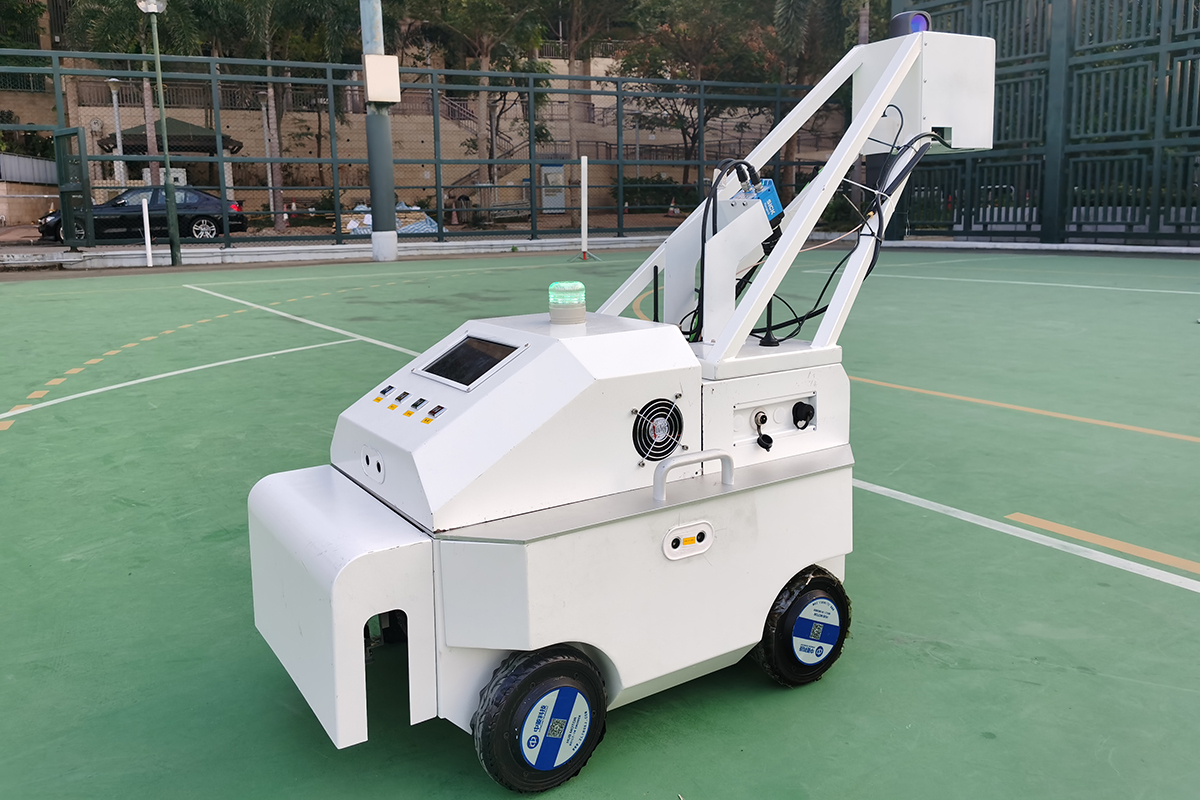
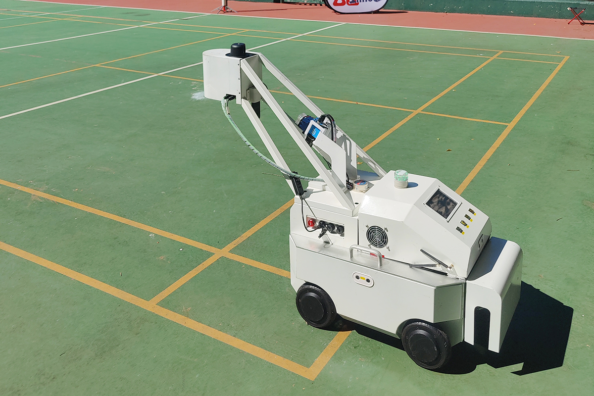
A system for inspecting surfaces that includes a mobile base, sensors for base navigation, sensors for surface inspection, a communication system and a host computer that executes modules for base motion planning and navigation, location, point cloud acquisition and processing, surface modelling and analysis, multi module coordination and user interfaces. The inspection procedure has the robot move in a zigzag pattern trajectory over the surface. For every fixed distance a 3D point cloud of the surface is generated and the location of the point cloud with respect to the world coordinate system is recorded. The location of the point cloud is based on SLAM for spatial mapping. At the same time, a high-resolution photo of the corresponding area on the surface is recorded by the camera. Both the point cloud and the photo are transmitted to the host computer for processing and analysis. This information is used in a new 3D detection and image processing algorithm to find flaws in the surface like bumps or depressions. If irregular flaws are detected, the robot marks such a problematic location.


